
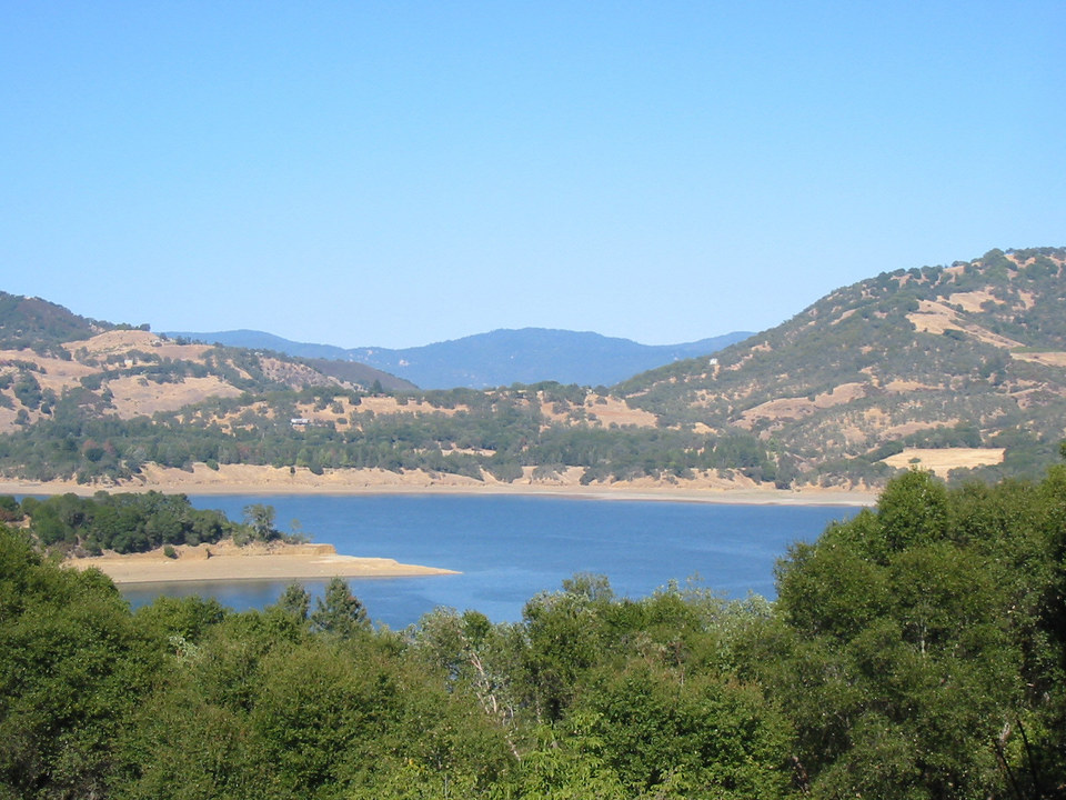
The maximum lake elevation is 737.5 ft (224.8 m) and the current lake level can be viewed at Lake Mendocino current level plot. The best sailing access is at the north end of the lake. Camping is available at a number of sites around the lake. Click on the map at the lower right to look at locations. To make camping reservations, select the link for your campground on the Army Corps of Engineers website. |
 |
|
|
View Lake Mendocino in a larger map |
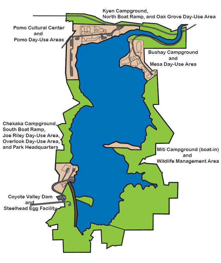 Lake Mendocino Camping |